Aerial Data
Aug 24, 2020
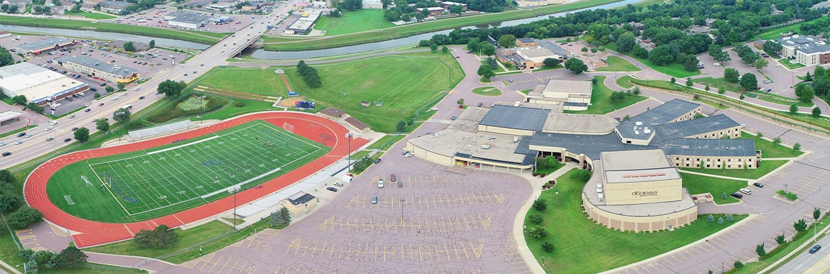
DroneWise LLC can produce aerial data projects for a variety of needs, such as city-planning, construction sites, agriculture, or for asset management. We use a variety of in-flight software that converts aerial data into actionable data. Aerial mapping is a great way to get a quick survey of properties, construction projects, or city zoning projects. We also offer drone training and drone surveys, so give us a call today at DroneWise LLC for more information!